
Looking Up Your Torrance Neighbors
A block lookup should say what each source shows about the surrounding lots, then stop at the source’s boundary. The Assessor map is the current parcel starting point. Permit portals add construction or project context. Historic criss-cross directories show a listed occupant sequence for covered years. The voter file has statutory restrictions and is not a public neighbor browse. A neighborhood association may publish an officer or contact page, but a private roster is not an official block record.
| Source | What it shows about a block | Access |
|---|---|---|
| Assessor and GIS map | AIN, situs, parcel outlines, adjacent lots, public characteristics | Free individual map clicks |
| Torrance permit portals | Address work, dates, applicants, contractors, project history | Archived portal and account-based access |
| Historic criss-cross directory | Listed occupant sequence by street and house number | Digitized 1922-1975 volumes where present |
| Voter file | Registration fields for an approved statutory purpose | Application and restrictions; not public neighbor search |
| Neighborhood group | Public officers, contact, activity, or service area if published | Organization or city page; no roster entitlement |
The block is a geometry question first. Mark the target parcel, then identify adjacent parcels by outlines and cross streets. Torrance neighbors are approached through the lots around the address, not through an assumed name list. A name seen in a directory or public filing remains a separate historical or organizational clue until another source confirms its role.
Click the Parcels Around One Torrance Lot
The documented neighbor method uses map clicks rather than a bulk people export. Search the target address, open Map Search, zoom until the lot lines show, and save the AIN. Click the parcels immediately left, right, and rear. Repeat from the opposite street face. Use the shape of the lots, not house-number arithmetic. A corner parcel may have a situs on the cross street, while a condominium can have several AINs and an apartment building can be one parcel.
- Normalize the target address in the LA County Assessor Portal and record the accepted situs and AIN.
- Open the map, set a scale at which parcel lines are clear, and click the target lot.
- Log the lots directly beside, behind, and across the block face, flagging corners and irregular boundaries.
- Compare each AIN with permit or historic-directory evidence only when a dated question calls for it.
- Stop at public record roles. Do not turn a parcel click into a claim about every household member.
The Assessor map and Torrance GIS can be compared where a postal Torrance address may be outside city limits. If the map offers no radius or buffer export, manual clicking is the reproducible method documented by the research. This block method identifies Torrance neighbors by geometry, not by a bulk name export. The LA County voter-information request page is the separate source for any restricted voter-file route.
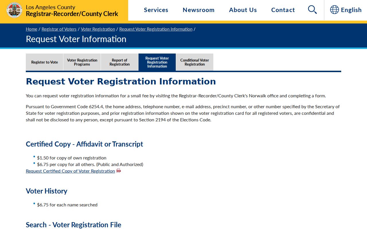
The voter-information image belongs beside the map workflow because a parcel view and a voter file have very different access boundaries.
Handle Torrance Corners and Rear Lots
Define the block by cross streets and both sides before naming an adjacent lot. A corner parcel may face another street. A wide road or alley can change which lots are physically close. Rear lots, flag lots, condominiums, and parcels with several units do not follow a neat house-number sequence. Save the target AIN, then work clockwise or by a written left-right-rear-opposite order so no parcel is silently skipped.
Permit records can show a subdivision, addition, or construction change that altered the apparent block. A historical street section can show how the same house number was listed in a selected year. Neither can enumerate every current person or all Torrance neighbors. The map is a parcel diagram, not a household census.
Keep a date on every block reconstruction. A current parcel map and a 1956 directory answer different time questions, even when the street name looks the same.
Compare Torrance Parcels to Historic Street Lists
The Torrance and South Bay city directories from 1922 through 1975 provide a historic address layer. Search a selected year’s criss-cross section by street and house number, then inspect the alphabetical entry for spouse, address, telephone, and marks such as h, r, wid, or ret. Search the Torrance Herald and Press alongside the directory when a listed household changes. Keep the printed address and modern AIN in separate columns.
A listed occupant is not automatically a current neighbor, owner, or complete household. Directory canvass dates, OCR errors, missing volumes, moves, and multiunit addresses all create gaps. A selected street year can put past Torrance neighbors in context, but the city directory collection is most useful for dated neighborhood history, not for building a present contact list.
When the block question becomes a full named-street chain, use the Torrance streets workflow for current address-keyed records. The neighbor lookup stays with the immediate lots around one target.
What a Torrance Block Map Shows
A block map can show parcel geometry, AIN, situs, public characteristics, city or unincorporated status, and links to surrounding lots. It can show where Torrance neighbors sit as parcels, but it cannot show every occupant, private association member, utility customer, delivery recipient, child, protected participant, or person whose record is restricted. A permit applicant may be an architect, contractor, owner, or agent. A tax-mail address may point to a trust or business.
- Adjacent parcel
- A lot that touches or sits directly beside the target geometry, confirmed by the map rather than number order.
- AIN
- The county assessor identifier used to carry one parcel into assessment and map records.
- Listed occupant
- A person printed in a directory for that book’s canvass and address, not a universal current-residence label.
- Public contact
- An officer or service address voluntarily published by an association or civic group, not a member roster.
Torrance Voter Data and Neighbor Limits
LA County’s voter status tool requires last name, birthdate, house number, and ZIP. It is a self-service verification form, not a street or block browse. Elections Code sections 2188 and 2194 and Government Code section 7924.000 restrict home address, telephone, email, precinct, identifying numbers, and signatures. A full-file request must use the county’s voter-information procedure, state an authorized purpose, define fields and geography, and accept redistribution rules.
Aggregate Reports of Registration can show civic counts without exposing individuals. Safe at Home voters use confidential registration. An inactive status does not prove a move, and a registered address does not prove present occupancy. Those limits make voter information a carefully bounded record, not a list of Torrance neighbors.
Public Association Contacts Versus Member Rosters
Torrance has city neighborhood-services and community channels, homeowners or neighborhood associations, and civic groups. The research did not locate an authoritative current citywide association-by-neighborhood roster. That gap matters. A city page can point to public contacts. An association page may publish officers, meeting details, service area, or a join method. A private membership roster remains private unless the organization chooses to publish it.
| Access point | Public material that may appear | Boundary |
|---|---|---|
| City Neighborhood Services | City-sponsored community contacts and service channels | Not a member directory |
| Individual association page | Public officers, contact, meeting, or service area | Verify the group and date |
| California bizfile | Nonprofit or HOA entity, agent, and filing address | Agent is a service role, not a neighbor |
| Community or faith organization | Published events, officers, or newsletter names | Private rosters are not assumed open |
The Torrance neighborhood-services page is the documented civic starting point for public Torrance neighbors contacts. It should not be presented as proof that a particular person belongs to a group.
Protected Residents and Private Household Data
California’s Safe at Home program gives qualifying survivors and certain public or health workers a substitute mailing address and limits harmful publication. The program does not erase old public records. DMV information is restricted by the federal Driver’s Privacy Protection Act and California law. Utility, delivery, private association, congregation, block-watch, and household details are not transformed into public data by the presence of a parcel map.
California’s 2026 DROP system lets residents submit a single deletion request to registered data brokers. That process can reduce commercial circulation, but it does not alter deeds, court files, news archives, or government rolls. A Torrance neighbors search should stop when the next step would require a protected or private source.
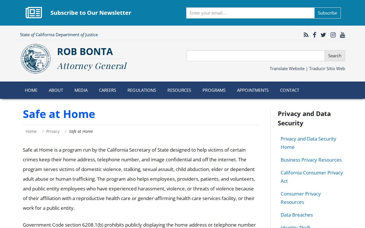
The Safe at Home guidance explains why a map result cannot be treated as permission to expose a protected address.
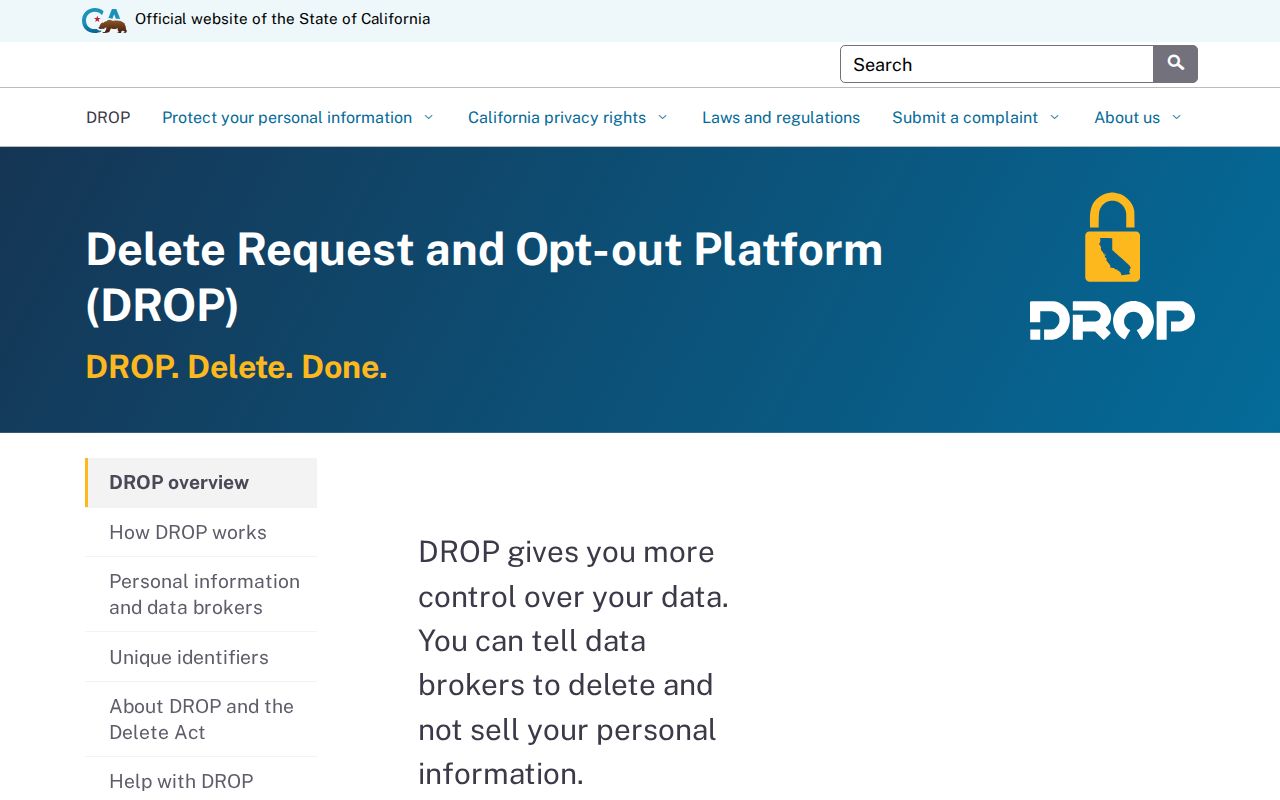
The California DROP page is a privacy-removal route, not a way to edit a public parcel or court record.
Confirm Torrance Jurisdiction Before Calling an Agency
A postal Torrance address can fall outside the incorporated city, particularly in the 90502 area. Before calling a department, compare USPS delivery, Torrance or county GIS boundaries, and the Assessor situs and AIN. City permits and police records may route through Torrance for an incorporated parcel, while county permits or Sheriff records may apply outside the line. A wrong custodian can make a valid record look absent.
For a records request, name the address, date range, record series, and parcel or permit number. City police requests use the police records channel. Court files go to Superior Court. Deeds go to RR/CC. This jurisdiction check protects Torrance neighbors from a records request sent to the wrong agency; it is not a claim about who lives on the block.
The California Attorney General consumer complaint route is relevant when a business misrepresents a record service, not when a parcel boundary is unclear.
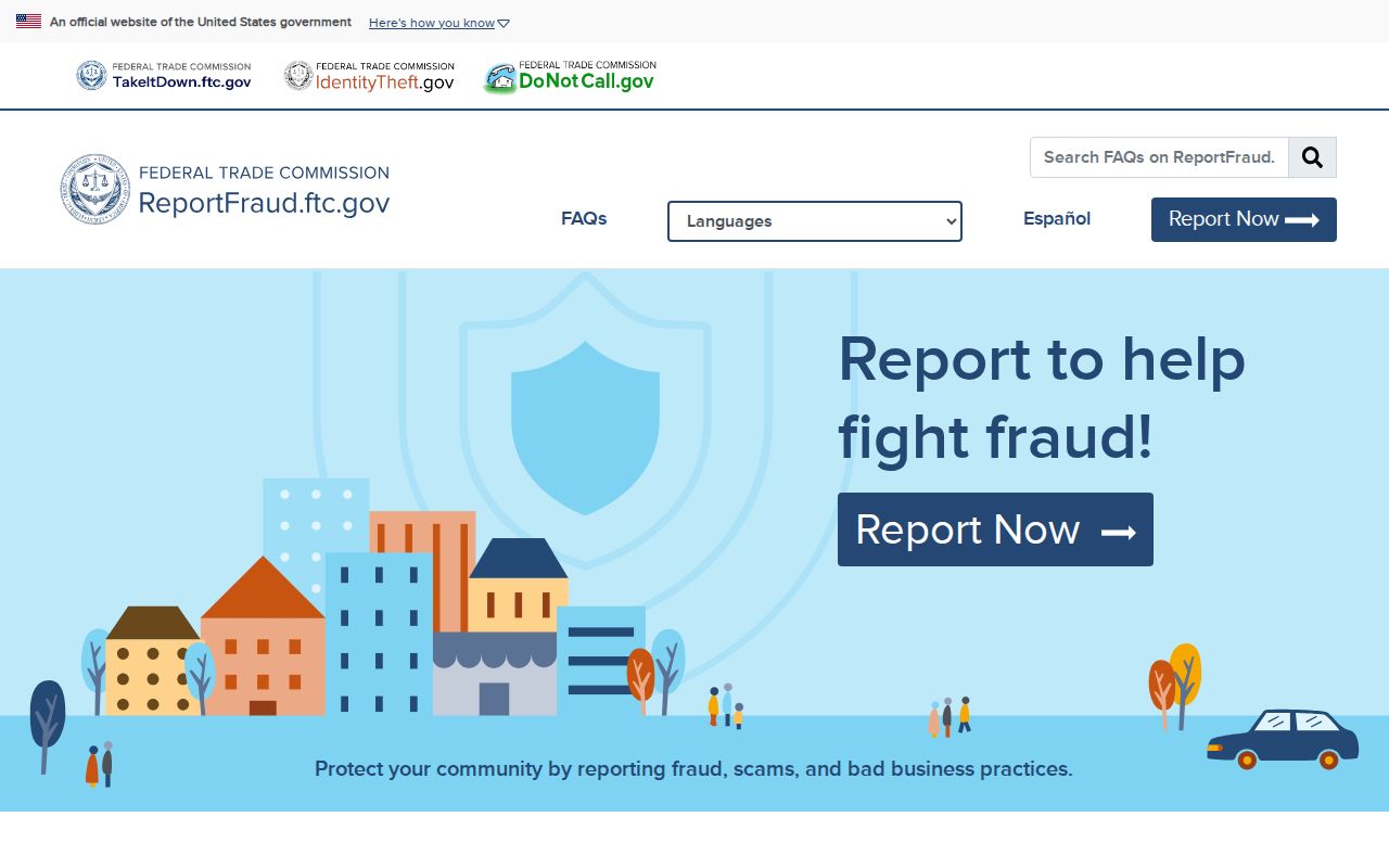
The FTC ReportFraud service is the federal reporting route for a scam that uses neighborhood or property information.
Privacy Limits on Torrance Neighbor Lookup
Official parcel tools and commercial neighbor tools are not interchangeable. An official map identifies a parcel and its public characteristics through a named custodian. A commercial compilation may blend old addresses, filings, and unrelated same-name entries. Neither one supplies a complete list of the people behind every door. The source date, role, and correction path should stay with every result.
| Question | Official parcel or civic source | Commercial compilation |
|---|---|---|
| What is identified? | Parcel, AIN, address, or published public contact | Blended profile assembled from multiple sources |
| Who corrects it? | Assessor, city, county, court, or organization custodian | Compilation provider, if it accepts a correction |
| What is missing? | Private household, protected, and restricted data | Source date and role may be unclear |
Lawful personal use. Use a Torrance neighbor lookup for block history, parcel curiosity, civic contact, or a defined records request. Do not use it to stalk, harass, intimidate, threaten, or harm a person. Stop at private or protected information.
A missing neighbor result is often a privacy boundary, a multiunit parcel, a dated source, or a jurisdiction error. It is not proof that a person is absent from a block or that other Torrance neighbors are unlisted. Confirm the record with the custodian and respect the limit.