
Torrance ZIP Codes and What They Cover
The core Torrance ZIP code directory work starts with the five geographic codes used for ordinary resident geography. The areas below are orientations from the research, not legal boundaries. USPS city-name acceptance does not confer incorporated-city status. An exact address still needs a delivery check, a parcel check, and a government-boundary check before a record request is sent.
| ZIP | Areas generally associated | Post office context | Notes |
|---|---|---|---|
| 90501 | Eastern and southeastern Torrance, Old Torrance, industrial areas | Torrance postal delivery | Check the city line at the edges |
| 90502 | North and east Torrance postal area | Torrance delivery name | Large unincorporated LA County overlap |
| 90503 | Central and west-central Torrance, civic center | Torrance delivery | Not a neighborhood district |
| 90504 | North Torrance | North Torrance delivery | Check edges near Gardena and Los Angeles |
| 90505 | South and southwest Torrance, Walteria and Hillside contexts | South Torrance delivery | Check exact address near the Palos Verdes edge |
The table gives a starting map for a Torrance ZIP code directory. It does not turn 90503 or any other code into an everyone-at-this-ZIP search. Parcel and voter systems use narrower keys, and the Assessor portal does not offer ZIP-only browsing.
The Five Geographic Torrance ZIP Codes
90501 is the Old Torrance and industrial-side anchor, useful when a historical directory or Herald search points to the early incorporated core. 90503 reaches the civic center, library, and central or west residential territory. 90504 broadly aligns with North Torrance. 90505 serves southern Torrance, including Walteria and Hillside contexts. These are research orientations, not a substitute for the address returned by USPS.
90502 needs special care because “Torrance” in the mailing line can point into unincorporated Los Angeles County. A permit, police, planning, or tax request may therefore belong to a county department rather than Torrance City Hall. When a neighborhood name and ZIP seem to disagree, trust the exact delivery point, parcel AIN, and city-limit map over shorthand.
The USPS city and state lookup is the official place to verify codes associated with a postal place name.
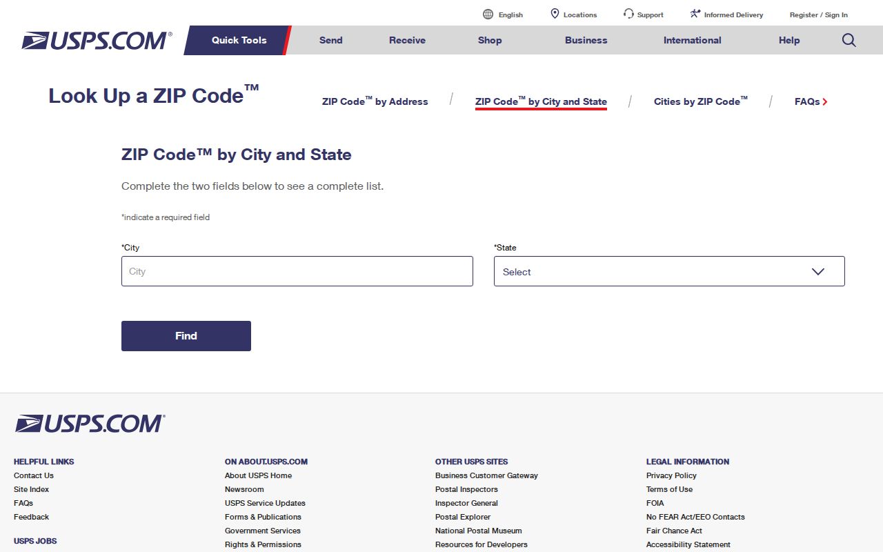
The USPS image shows the postal side of the Torrance ZIP code directory, which must be paired with a parcel and boundary check.
Why 90502 Is Not the City
A ZIP Code is a delivery construct. Municipal incorporation is a government boundary. Torrance’s public-records guidance warns that a Torrance postal address can sit outside city limits, and 90502 is the most important local example. A person can use Torrance for mail while a parcel record, permit, or Sheriff request routes to Los Angeles County. The mismatch is not an error in USPS or the city record. It is a sign that the two systems answer different questions.
For a ZIP search, keep three fields side by side: USPS delivery city and ZIP, government jurisdiction, and Assessor situs or AIN. Do not infer city services, resident identity, or a court district from a five-digit code alone. The county’s CPRA routing page is useful when a request needs a department outside Torrance.
The Torrance records page supplies the local jurisdiction warning and permit-routing context.
The county contact image belongs beside the boundary warning because postal geography can send the next request to a different records office.
Torrance PO Box ZIPs Are Not Neighborhoods
90506 has an institutional or unique-use association with the CSU Dominguez Hills area and is generally outside Torrance city. Codes from 90507 through 90510 can be PO Box, unique, or organizational codes that need exact addressee verification. They should not be counted as ordinary neighborhood ZIPs in a postal reference. A code prefix is not a population or household boundary.
- ZIP Code
- A USPS delivery area or code assignment, not a city limit or public resident roll.
- ZIP+4
- An added four-digit delivery detail that can narrow a mailing destination beyond the five-digit code.
- PO Box ZIP
- A code used for postal boxes or a postal facility rather than a geographic household area.
- Unique ZIP
- A code associated with a specific institution or organization and not an ordinary neighborhood.
- Carrier route
- A USPS delivery subdivision that does not certify a municipal neighborhood or household list.
When a code looks unusual, use USPS address lookup and record the addressee context. Do not feed a unique code into a resident search and assume the result describes everyone who lives nearby.
USPS ZIP Versus Torrance Jurisdiction
USPS answers whether a mailing line is valid. Torrance GIS and county maps answer whether a parcel is within city limits. The Assessor answers which AIN and situs belong to the land. These systems can agree, but they do not share one master address table. A deed may preserve a subdivision legal description while USPS changes a street format. A school, council, or service-zone tool can describe a public boundary without naming a resident.
A ZIP reference should therefore state what it knows: postal area, broad orientation, and the next verification step. It should not promise a downloadable resident roster. For an address that falls near Gardena, Los Angeles, the Palos Verdes edge, or unincorporated county territory, capture the boundary result before asking for a permit, police, tax, or court record.
Which Torrance Portals Actually Accept ZIP
ZIP support varies by portal. The LA County voter status form accepts ZIP only alongside last name, birthdate, and house number. The Assessor Basic Search needs an AIN or complete address, not a ZIP-only browse. Torrance Citizen Access centers on record number, address, or parcel. The recorder has no remote street or ZIP grantor-grantee search. A GIS map may show postal geography if a layer exists, but parcel selection remains the identity key.
| Portal or mode | ZIP input | What the result can do | What it cannot do |
|---|---|---|---|
| USPS City and State | City and state | List postal codes associated with a place name | Prove incorporated boundaries |
| USPS Address Lookup | Complete delivery address | Verify a delivery point and mailing line | Name residents |
| LA County voter status | ZIP plus three identity/address inputs | Self-verify registration | Browse a ZIP |
| LA Assessor | Embedded in address suggestion | Resolve an AIN and parcel facts | Search everyone in a ZIP |
| Torrance Citizen Access | Not a ZIP browse | Search an address, parcel, or record | Export a ZIP resident list |
The research found no official portal that produces “everyone in 90503.” That absence is a useful result. Organize ZIP work around verified addresses and custodians, then narrow to a street or parcel for the next record step.
Map Torrance ZIP Addresses to AINs
Once USPS verifies a delivery point, enter the street address into the LA County Assessor Portal and accept the suggested result. Save the AIN, situs spelling, municipality or unincorporated indicator, and map link. Compare the parcel with Torrance GIS and the city boundary. This sequence turns a ZIP clue into a records-ready address without treating a postal label as a person identifier.
If the address is a unit, try the base parcel only to resolve the map, then keep the unit detail in a separate note. A condominium can have separate AINs, while an apartment building can be one parcel. A permit applicant, tax-mail recipient, or deed party remains a role, not a complete resident list.
The Assessor address and AIN portal is the parcel bridge. The street-by-street next step belongs on the Torrance streets page once a ZIP has narrowed the question.
Torrance Neighborhood Names vs ZIP Lines
Old Torrance, North Torrance, West Torrance, Southwood, Walteria, Hollywood Riviera, and Hillside describe development eras and local geography, not a single ZIP boundary. The Old Torrance and industrial side can point toward 90501 and early directories. Postwar north, west, and south subdivisions surface in later volumes and permit records. The neighborhood name helps choose a historical source, but the exact address chooses the custodian.
Industrial parcels may appear in historical directories as plants or businesses rather than household lines. Edge properties need city and parcel validation. Historical directories may show a postal zone or no ZIP because ZIP Codes began in 1963. Do not retrofit a modern code onto an older listing and use it to claim a historic jurisdiction.
Keep the contemporaneous address, directory year, and modern crosswalk separate. This makes the Torrance postal reference useful for orientation without rewriting the history of an address.
Verify Every Address in Three Systems
The final ZIP code directory check is simple: USPS for delivery, GIS for government boundary, and Assessor for parcel identity. If all three line up, the next request is easier to route. If they disagree, preserve the disagreement and ask the responsible office. A 90502 postal address may need an LA County permit department. A PO Box code may tell you nothing about the parcel. A directory entry may use an older postal form that should not be silently modernized.
The Central District of California can provide a federal court geography reference, but court jurisdiction is not a ZIP-based resident list. Court, recorder, voter, and parcel systems each have their own access rules. The safest page-level promise is a verified path from postal code to exact address and then to the source that can answer the narrow question.
The Central District court site image is a reminder that institutional geography and postal geography are separate layers.